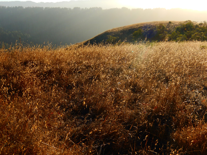
Barnabe Peak from Madrone Camp
(scroll to bottom for photo gallery)
Location: Barnabe Peak, Barnabe Fire Road, Samuel P. Taylor State Park
Starting Point:
Samuel P, Taylor State Park is 15 miles/30 minutes west of San Rafael on Sir Francis Drake Boulevard. The Samuel P. Taylor ranger station for paying a day fee is at Camp Taylor, 8889 Sir Francis Drake Blvd., Lagunitas, CA 94938
The Madrone Group Camp area where we park for this hike (cabin camping area) is a short way down and across from the main Camp Taylor check-in area.
Info links:
For all web links, if a link doesn’t jump directly, copy and paste into browser.
Samuel P. Taylor State Park brochure with map link (CA State Parks):
https://www.parks.ca.gov/pages/469/files/SamuelPTaylorFinalWebLayout072715.pdf
Samuel P. Taylor State Park info link (CA Dept. of Parks and Recreation):
http://www.parks.ca.gov/?page_id=469
Samuel P. Taylor State Park camp area map and info link:
http://www.parks.ca.gov/pages/469/files/SamuelPTaylorSP_CampMap2018.pdf
CA Park Camp Reservations link:
https://www.reservecalifornia.com/CaliforniaWebHome/Default.aspx
Distance:
As always seems to be the case, multiple maps show varying distances. My best estimate from the maps is that the distance on the connector trail from the Samuel P. Taylor Madrone Group Camping area to Barnabe Road/Barnabe Fire Road is about 0.4 miles, followed by 1.1 miles on Barnabe Road/Barnabe Fire Road until the trail intersection to Bill’s Trail (closed at the time this post is being written, check Samuel P. Taylor web site for trail updates), and then another 0.3 miles along Barnabe Road/Barnabe Fire Road to the 1466 foot elevation Barnabe Peak. That’s only 1.7 miles to the peak, but it is a pretty good rise in elevation. It’s easier coming down on the way back.
Considerations:
• There is day use fee for Samuel P. Taylor Park. The Camp Taylor ranger station is the stop to make to check in for that, but parking to start from near the Madrone Group Camping Area is up and across Sir Francis Drake a little further.
• Camping at Samuel P. Taylor is nice, whether at tent campsites or cabins. We’ve done this hike when staying in a cabin there.
• Toilet facilities are available near Camp Taylor day use parking and at the Madrone camping area.
• Much of this hike is open and unprotected from shade. Bring water and sun protection.
• Trail and road conditions and closings are updated on the CA Dept. of Parks and Recreation link noted above.
The trail:
We’ve stayed at a cabin (ADA cabin available) in the Madrone Group Camp Area of Samuel P. Taylor State Park, and hiked this trail both times. Some of our crew only went partway, which offers plenty of great views, and one of us (yours truly), went up to the peak, elevation 1466 feet. It’s a scenic trail either way.
There’s an open space up the hill where campers check in for the Madrone Camp area and cabins, and a bit further up the hill is a pretty stretch of shaded trail that then opens up to connect to Barnabe Road/Barnabe Fire Road.
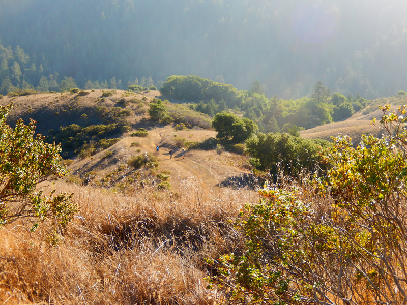
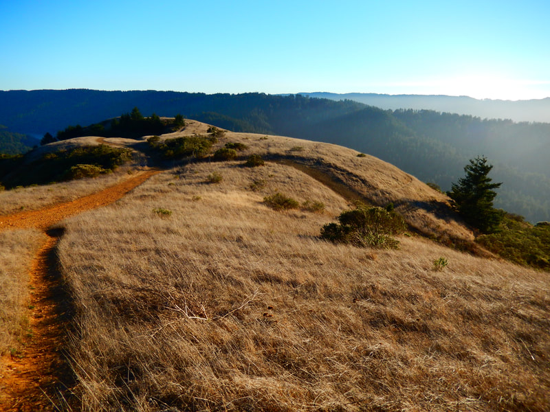
Once you hit the fire road, you’re in mostly open, unprotected space for much of the 1.7 mile to Barnabe Peak. There are patches of trees here and there for a shade break, but sun protection and water are good to have, especially on hot days.
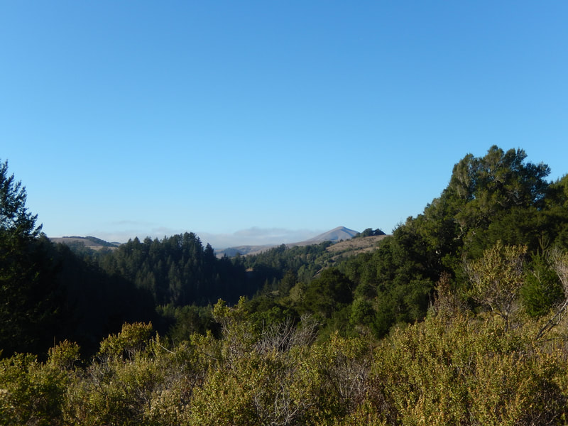
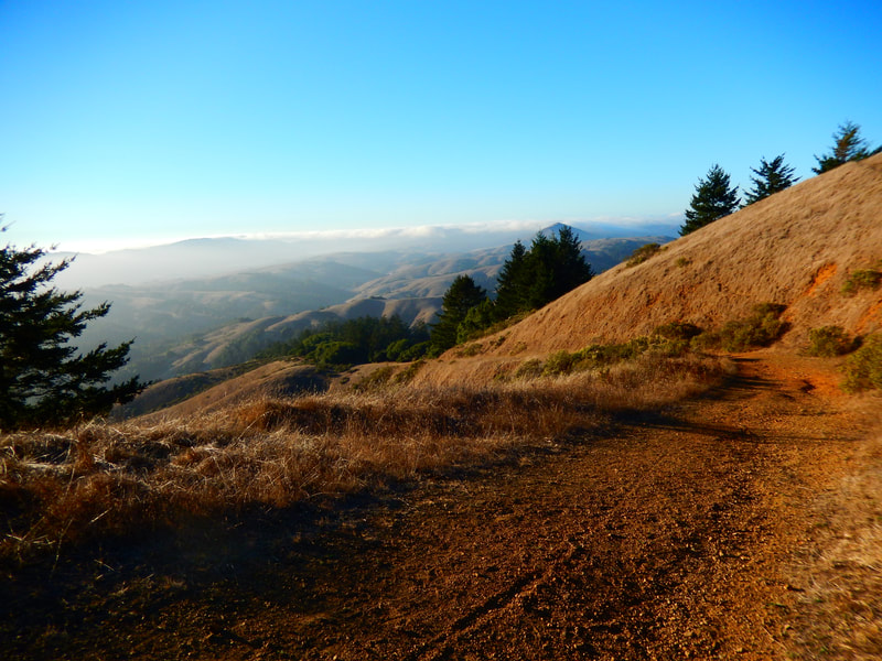
The trail twists and turns, offering views of the surrounding hills from different angles. One visual standout in the surrounding mountains is Black Mountain, sometimes referred to as Elephant Mountain, which has an eye-catching sculptural form.
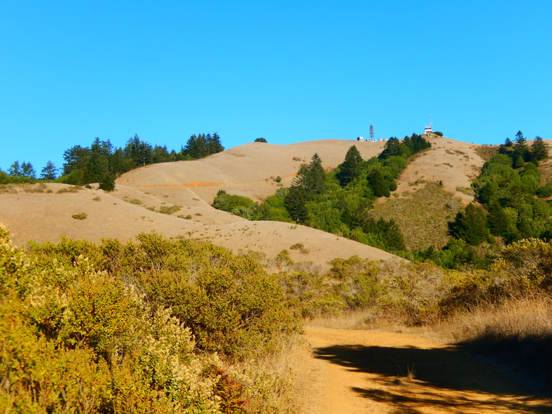
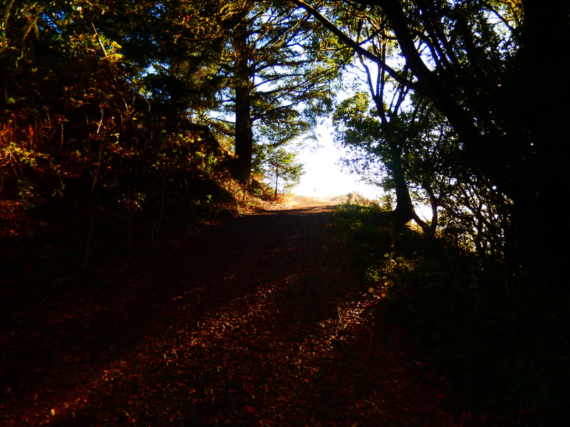
Every ridge crossed feels like, “We’re getting there!” only to realize that the peak is a farther climb than it seems at a glance. Once up high toward the end stretch, there is a shady tree tunnel that offers a “light at the end of the tunnel” view toward the final stretch to the peak.
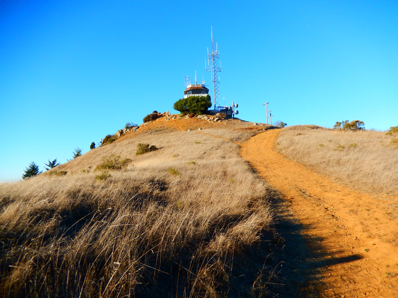
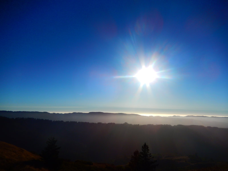
The 360 degree view from the top is great for a quiet moment after a climb. It is possible to continue from Barnabe Peak another 1.9 miles on Barnabe Road/Barnabe Fire Road and then loop back along the Cross Marin Trail along Sir Francis Drake for another 0.7 miles and then another mile to the Madrone Camp, but we’ve done the out-and-back return along the same trail and still felt we had a good hike.
(Barnabe Peak from Madrone Camp Hike Notes were originally paired with the “A Moment Alone” Insights post.)
Click Insights/Hike Update News for inspiring reflections. Browse hikes on the main Hikes page or on the Hike Search by Area page. Check out selected articles and interviews under Media. Click World Walks to see or share favorite family-friendly walks! Stay in touch with Lisa Louis and HikingAutism via Contact. See products with inspiring designs that support the efforts of HikingAutism under Support/Shop. The Links page lists a loose collection of helpful information links.
Check the Home page for the broader background story. If you’re not able to take one of these Northern California hikes, hopefully you can enjoy the photo galleries at the bottom of each hike page! Feel free to share and follow on Facebook at HikingAutism, follow on Twitter at @HikingAutism and Instagram at lisalouis777
