Bon Tempe Lake Loop
(scroll to bottom for photo gallery)
Bon Tempe Lake, Marin Watershed, southwest of Fairfax, CA
Location: Bon Tempe Lake is one of five lakes in the Marin Watershed (Marin Municipal Water District). For those on US Rte. 101, get onto Sir Francis Drake Blvd, which runs through a large section of Marin County, including Fairfax. In downtown Fairfax, from Sir Francis Drake, get onto Bolinas Road (Bolinas-Fairfax Road on some maps). This requires a tricky extra link via Pacheco Ave. or Claus Dr. and Broadway/Center Blvd., depending on which direction one is driving from. (This is what maps are made for). Follow Bolinas Road as it goes past Deer Park. Watch for the left turn onto Sky Oaks Road, and continue driving until you see the right turn onto Bon Tempe Road. Take this to the Bon Tempe Lake Trailhead. The smaller body of water down to the right is Alpine Lake. The larger lake to the left is Bon Tempe Lake.
Links: (if a link doesn’t jump directly, copy and paste into browser) (Information links are sometimes changed at the source unexpectedly. We do our best to update.):
Mt. Tam Watershed information (Marin Water):
https://www.marinwater.org/mt-tam-watershed
Mt. Tam project and road status info (CA State Parks):
https://www.parks.ca.gov/?page_id=471
Mt. Tam Watershed map (Marin Water):
https://www.marinwater.org/sites/default/files/2020-09/Watershed%20Visitor%20Map.pdf
Distance: The main loop around Bon Tempe Lake is about 3.7 miles. There are very few steep stretches, which makes the distance feel less challenging. There are many hike options in this area, going to Alpine Lake or Lake Lagunitas from the Bon Tempe Lake trail, but this hike description is for the basic loop around Bon Tempe Lake.
Considerations:
Watch for an automated pay station on Sky Oaks Road at the Sky Oaks Headquarters entrance to pay a modest parking fee.
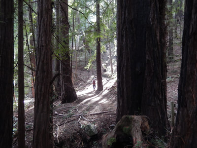
There are just a few steep stretches, mostly in the more wooded, redwood trails at the start of this hike after turning left after the Bon Temp Dam Road near the trailhead.
It can be a bit difficult to gauge how far one has made it around the lake. When you reach a large parking area with picnic tables and toilet facilities, you are roughly halfway around.
The trail:
We like starting this loop from the Bon Tempe Dam Road near the trailhead at the north end of the lake near Alpine Lake, a straight walk across a road with Alpine Lake down to the right, and Bon Tempe Lake on the left.
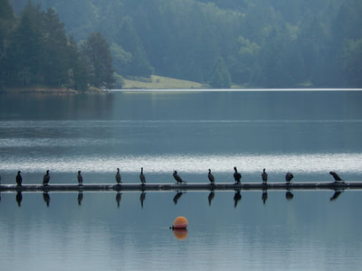
Cross the dam road with Bon Tempe at your left. Watch for cormorants lined up on a structure in the water.
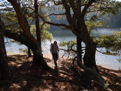
Once across the dam road, turn left up into the woodsy trail. This is the start of the main stretch where the trail is covered and has dark forest areas. This is also the primary section of trail where there will be a few slightly steep ups and downs, none of which are very long.
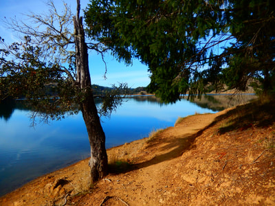
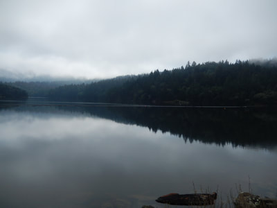
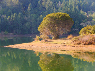
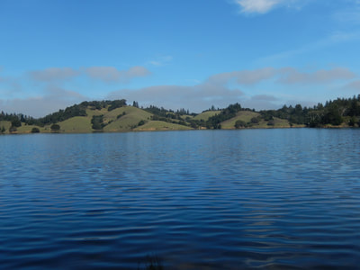
The loop continues with the lake at your left, with the view out over the lake changing at every turn. From this western forest trail side, the other side of the lake looks like a California landscape. When walking on the more open east side of the lake, the woodsy forested side of the lake is very reminiscent of lakes in the Adirondacks where I grew up.
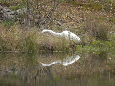
There are some large herons that guard over the lake. Seeing them at rest at the lake edge is wonderful. Seeing them fly with their broad wingspan low over the water is breathtaking.
There are some sandy patches by the lake edge here and there that make for great rest or snack spots.
At the tight turn at the southeast end of the lake there is a parking area with picnic tables and toilet facilities. This is a good break spot before heading back up around the rest of the lake.
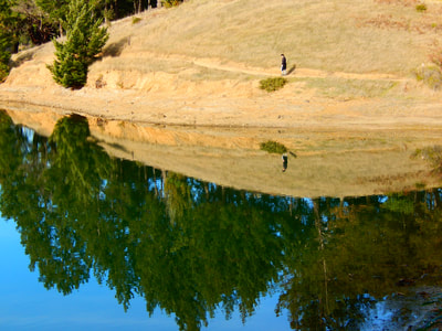
The east side of Bon Tempe Lake has its own unique atmosphere, feeling more dry and open in terms of plant life, though you see dark forest across the lake. There are several turns around jutting bits of land that make you think, “Okay, this is the last turn on the way back,” but that feeling repeats itself with several more areas of land that jut into and back away from the lake.
Bon Tempe Lake is scenic at every step, and worth the effort to get around the less than four mile loop.
As usual, the photo gallery here includes images from both blue sky days and overcast days. It’s beautiful either way.
(Bon Tempe Lake Loop Hike Notes were originally paired with the “Comfort in the Familiar” Insights post.)
Click Insights/Hike Update News for inspiring reflections. Browse hikes on the main Hikes page or on the Hike Search by Area page. Check out selected articles and interviews under Media. Click World Walks to see or share favorite family-friendly walks! Stay in touch with Lisa Louis and HikingAutism via Contact. See products with inspiring designs that support the efforts of HikingAutism under Support/Shop. The Links page lists a loose collection of helpful information links.
Check the Home page for the broader background story. If you’re not able to take one of these Northern California hikes, hopefully you can enjoy the photo galleries at the bottom of each hike page! Feel free to share and follow on Facebook at HikingAutism, follow on Twitter at @HikingAutism and Instagram at lisalouis777
