Baylands Nature Preserve
(scroll to bottom for photo gallery)
Baylands Nature Preserve, 2500 Embarcadero Road, Palo Alto, CA 94303
Location: Baylands Nature Preserve is located near the Palo Alto Airport and Regional Water Quality Control Plant east of Route 101 just south of the Dumbarton Bridge.
For all web links, if a link doesn’t jump directly, copy and paste into browser. (Information links may change. We do our best to update.)
Baylands Nature Preserve info link (City of Palo Alto):
https://www.cityofpaloalto.org/Departments/Community-Services/Open-Space-Parks/Neighborhood-Parks/Baylands-Nature-Preserve
Baylands Nature Preserve brochure with trail map (City of Palo Alto):
https://www.cityofpaloalto.org/files/assets/public/community-services/parks-and-open-space/baylands/baylands-map.pdf
Distance:
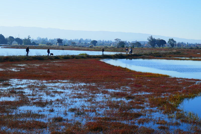
The Baylands Nature Preserve covers 1,940 acres, and has pathways in various directions that allow walkers to choose long or short walks, or just a visit to park and look at the view.
Considerations:
General note: All information is subject to change based on current health and safety guidelines.
• The main public restroom is at the parking lot off Embarcadero Road at the north side of Byxbee Park, and the southern start of paths into the Baylands Nature Preserve. Parking can become full here, but there are more parking spots up toward the Lucy Evans Baylands Nature Interpretive Center and at the Palo Alto Boat Launch area, where there is also a port-a-potty.
• Heed health and safety notices, including wildlife alerts.
• Dogs allowed on leash.
• Bay Area weather can switch between chilly and foggy and warm and sunny in the blink of an eye. We always bring layers.
The trail:
We managed to find a parking spot at the southern end of the nature preserve where the main bathroom is (small road off the end of Embarcadero Road by the wastewater treatment plant). That allowed us to maximize our walking distance.
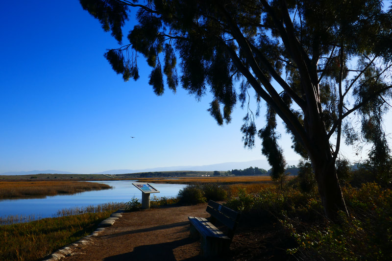
There is a walking path paralleling Embarcadero Road that takes visitors past a scenic view of the Environmental Volunteers EcoCenter reflecting in the water. Small planes operating from the Palo Alto Airport fly overhead.
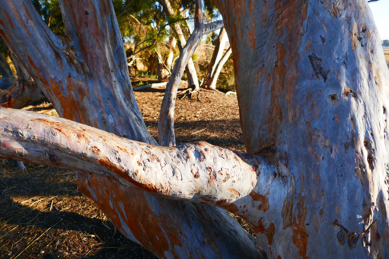
There is a patch of sculptural eucalyptus trees along the way near the Environmental Volunteers EcoCenter, after which visitors can stop and see the Palo Alto Duck Pond and then carry on further into the nature preserve.
Where Embarcadero Road makes a sharp turn to the right, there is a path to the left leading to the Lucy Evans Baylands Nature Interpretive Center, which has some exhibits and perhaps a docent to explain local nature phenomena.
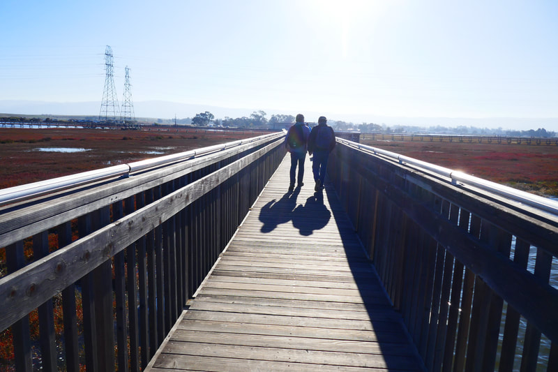
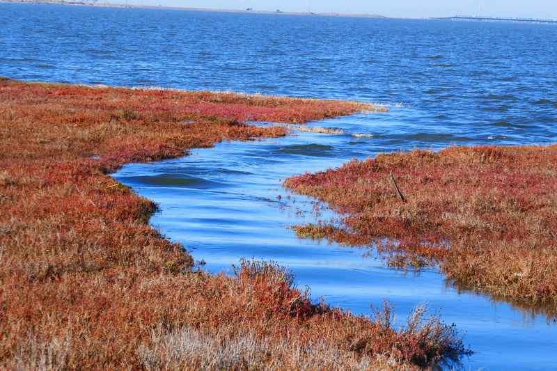
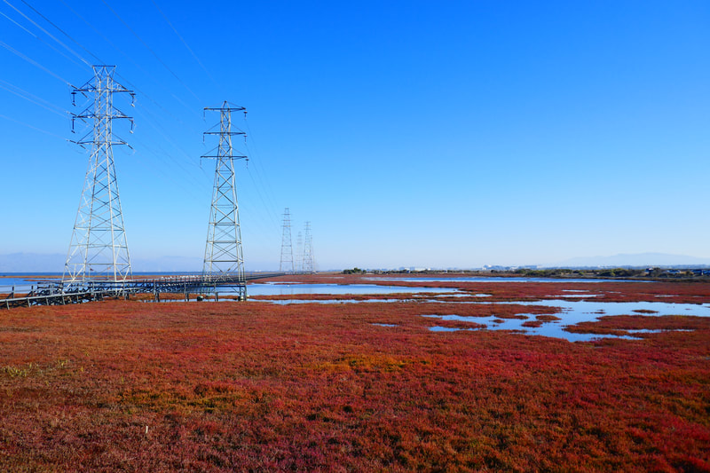
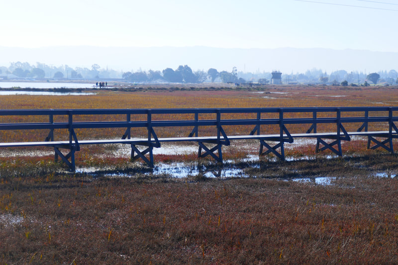
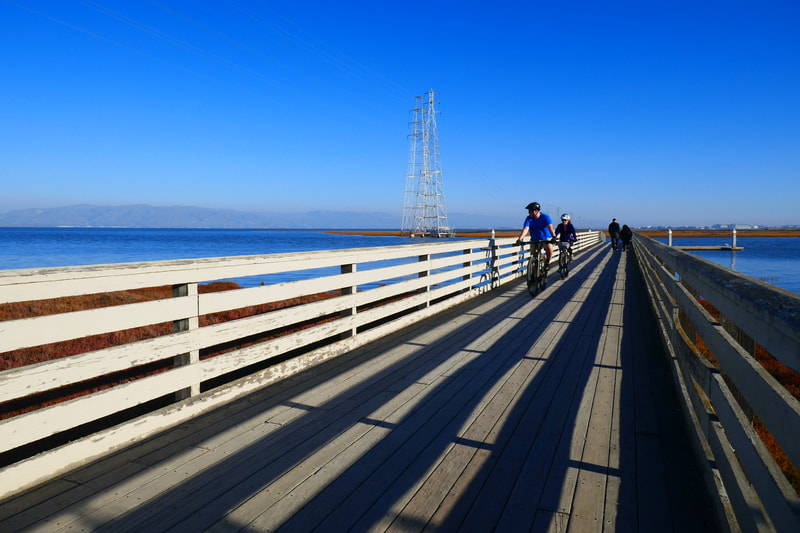
On the exit side of the interpretive center is the Baylands observation deck and boardwalk, which offers a picturesque way to walk farther out over the marshes and look at scenery in all directions.
Those who wish to walk more can continue on Embarcadero Road toward the Palo Alto Boat Launch and Baylands Sailing Station, where there is a port-a-potty in addition to more parking for those who didn’t park at the public bathroom parking lot or other lots along the way. This spot offers another wooden boardwalk for a different view.
Almost all the pathways are quite flat, so this is fairly easy walking, and visitors can adjust their exercise level by adding distance. Late afternoon light is especially pretty. This nature preserve is famous for birds, but our visit happened to be on a day when not a lot of birds were visiting. We’ll watch for more next time!
Baylands Nature Preserve Hike Notes were originally paired with the “The Gift of Kindness” Insights post.)
Click Insights/Hike Update News for inspiring reflections. Browse hikes on the main Hikes page or on the Hike Search by Area page. Check out selected articles and interviews under Media. Click World Walks to see or share favorite family-friendly walks! Stay in touch with Lisa Louis and HikingAutism via Contact. See products with inspiring designs that support the efforts of HikingAutism under Support/Shop. The Links page lists a loose collection of helpful information links.
Check the Home page for the broader background story. If you’re not able to take one of these Northern California hikes, hopefully you can enjoy the photo galleries at the bottom of each hike page! Feel free to share and follow on Facebook at HikingAutism, follow on Twitter at @HikingAutism and Instagram at lisalouis777
