Old Mine Trail- Mountain Theater to Pantoll
(scroll to bottom for photo gallery)
Location: The loop hike that includes an ascending leg via the Easy Grade Trail to Mountain Theater from Pantoll Campground (Easy Grade Trail-Pantoll to Mountain Theater) and a descent on the Old Mine Trail described in this post (Old Mine Trail- Mountain Theater to Pantoll) starts at: Pantoll Campground parking area, 3801 Panoramic Highway (near junction with Pantoll Road) Mount Tamalpais State Park, Mill Valley, CA 94941
Starting Point: Pantoll Campground and parking area, 3801 Panoramic Highway, Mill Valley, CA 94941 (near junction with Pantoll Road)
Info links:
For all web links, if a link doesn’t jump directly, copy and paste into browser.
For online map application searches, input “Pantoll Campground Parking”
Mount Tamalpais State Park info link (CA State Parks):
https://www.parks.ca.gov/?page_id=471
Muir Woods and Vicinity Trail Map (National Park Service):
https://www.nps.gov/goga/planyourvisit/upload/map-muwo-trail-2019-small.pdf
Mount Tamalpais brochure with map (California State Parks):
https://www.parks.ca.gov/pages/471/files/MountTamalpaisSPFinalWebLayout110816.pdf
Distance:
This post covers the descending segment of a loop hike which starts with walking across the Panoramic Highway to start walking along the Old Stage Road. Walk past the intersection with the Matt Davis Trail and Old Mine Trail until you find the start of the Easy Grade Trail, a distance of 0.2 miles to get to that trailhead (0.3 from the parking area). The Easy Grade Trail sign says 0.6 miles to Mountain Theater. We chose this shorter trail as our ascending leg (Easy Grade Trail-Pantoll to Mountain Theater). To make the return trip from Mountain Theater, there is a 0.2 mile connection via the Mountain Theater Fire Trail to get to Old Mine Trail. I think we turned at the Old Mine Spur before getting to the Old Mine Trailhead, but they both connect to the main Old Mine Trail which is marked as 1.5 miles between Mountain Theater and the lower connection back at Old Stage Road which leads back to Pantoll Campground and parking. The full loop is a little over two and a half miles when adding the short connectors between the main trails.
Considerations:
• The Pantoll parking area is fairly large, but as is the case at many trailheads, it gets more crowded on weekends. (There is a small day use fee for parking at the parking lot.)
• There are toilets at the Pantoll trailhead parking area, and also at Mountain Theater.
• Follow health, safety, and wildlife information signs.
• Having a poison oak scrub like Technu is handy for any trail.
• As with any Bay Area outing, bring layers. You may be hot in the sun one moment and shivering under fog and a chilly breeze the next.
• Maps are important, whether paper or a downloaded image. Cell service is not always reliable, so downloading an image ahead of time helps. Not all trails are marked clearly or accurately on all maps, and trail signs aren’t always as clear cut as expected, so keeping a sense of bearings is important.
The trail:
This is the descending leg of a loop hike between Pantoll Campground and Mountain Theater. The ascending leg of the hike is described in Easy Grade Trail-Pantoll to Mountain Theater.
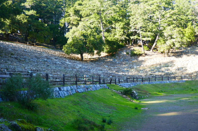
From Mountain Theater, we looked for trail signs directing us to Old Mine Trail. 0.2 miles along the Mountain Theater Fire Trail got us there. The bathrooms that are open when the theater is not running are along this path. We walked past some charming old stone buildings with leaf-covered rooves and a picnic table area and followed the fire road until we reached to an open space view. We did not veer right toward Rock Spring, but instead followed the path indicating Old Mine Trail ahead.
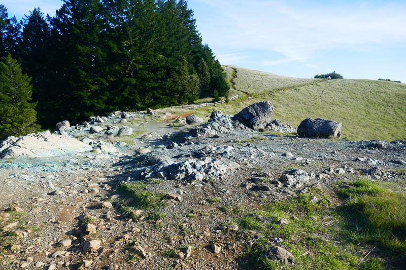
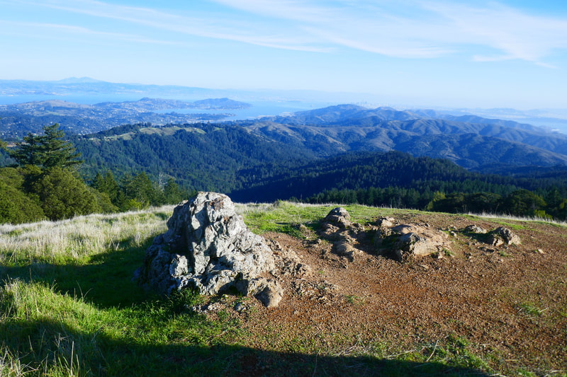
This is one of the most visually varied and beautiful spots on Mt. Tam. A gravelly stretch of trail leads up to a big patch of serpentine. The grayish green rock is a special feature of Mt. Tam that appears in large volumes here and there. Looking downhill from here faces toward Bootjack, starting point for other hikes in this area (Mountain Theater from Bootjack Campground, Bootjack Trail-Mountain Theater to Bootjack Campground).
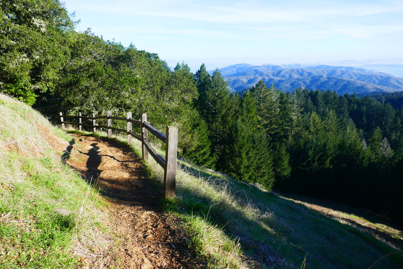
A charming wooden fence visually guides hikers ahead up rolling hills. Turning to look back from the direction we came from, we noted an iconic oak tree floating mid hill, and groups of pine trees on the ridges that overlook the ocean in the distance.
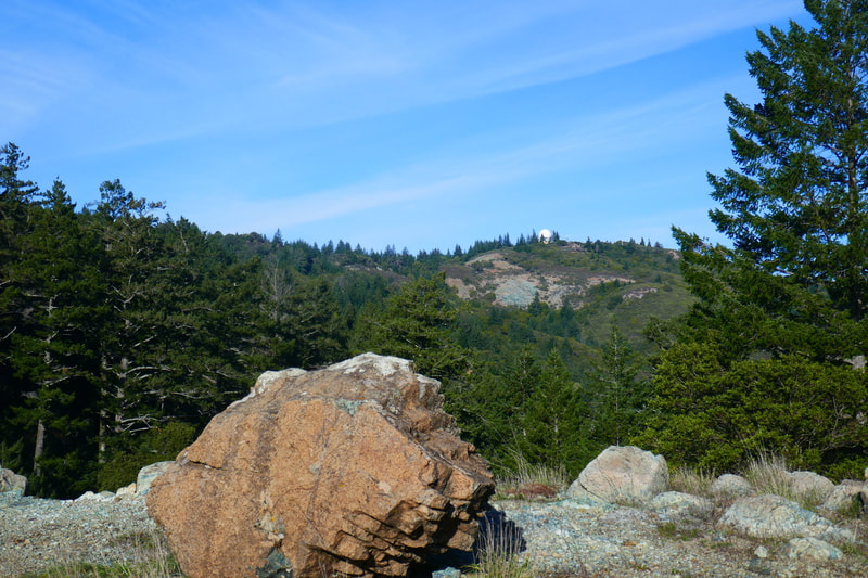
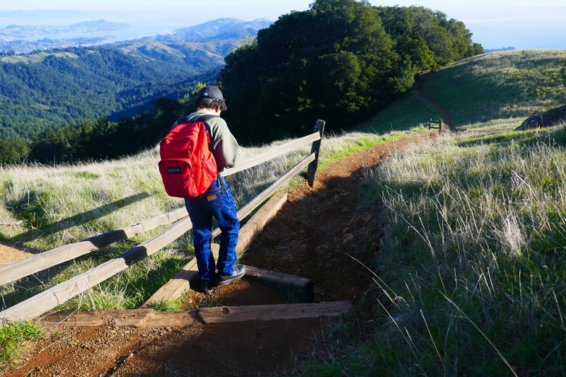
Continuing along Old Mine Trail, there were some side trails up small peaks that gave us glorious views over the bay, with Mount Diablo in the distance, Tiburon and Angel Island mid distance, and rolling hills in the foreground. Another turn of the head brings Mt. Tam’s East Peak as well as the West Point Inn peak into view.
The scenery on the hilltops is so gorgeous that it was hard to make ourselves take the softly wending trail down the hills into the forest. We were so entranced by the scenery that I’m not sure if we took the Old Mine Spur shortcut or went along just the Old Mine Trail proper, but they both end up under the trees heading back to Pantoll.
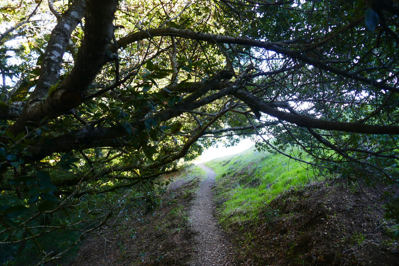
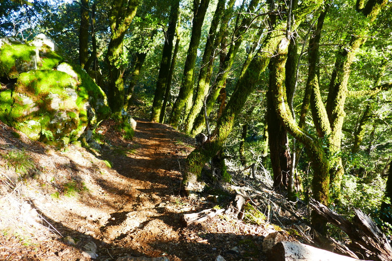
Once under the tree cover, hikers are back to classic Mt. Tam winding trails with mossy trees, more charming wooden fences, and breaks in the tree cover giving beautiful open views again. The final stretch is a mixture of softly padded dirt trail and some stretches of trail with roots and rocks requiring a little more care with footing.
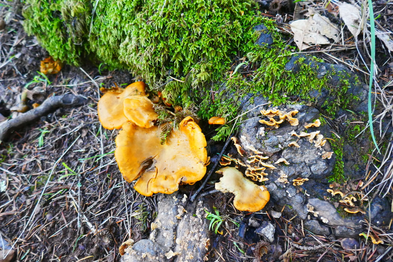
On the lower stretch, we saw some beautiful mushroom varieties, as well as some bright orange slime mold. Ferns and moss are also prevalent in this lower stretch where the sun doesn’t get down to ground level as easily as it does on the upper hills.
The final reminder is to cross the Panoramic Highway to the parking area safely. Traffic on the Panoramic Highway can zip at a fast speed, and cars coming along a curve mix with traffic from the intersecting Pantoll Road. For those of us with family members who may not cross the road smoothly and easily, this requires extra caution.
(Old Mine Trail-Mountain Theater to Pantoll Hike Notes were originally paired with the “Unexpected Memories” Insights post.)
Check the Home page for the broader background story. Click Insights/Hike Update News for inspiring reflections. Browse hikes on the main Hikes page or on the Hike Search by Area page, and scroll to the bottom of each hike page to see full photo galleries.
If you’d like to support HikingAutism, check out the Support/Shop page! Check out selected articles and interviews under Media. Click World Walks to see or share favorite family-friendly walks! Stay in touch with Lisa Louis and HikingAutism via Contact. The Links page lists a loose collection of helpful information links. Feel free to share and follow on Facebook at HikingAutism, follow on Twitter at @HikingAutism and Instagram at lisalouis777
