Burleigh Murray Ranch Trail
(scroll to bottom for photo gallery)
Location: 305 Higgins Canyon Road, Half Moon Bay, CA 94019 (Half Moon Bay traffic can get heavy, especially near where Highway 1 meets Route 92. Check traffic maps and choose less congested times when possible.)
Starting Point: There is a parking area right at the trailhead on Murray Ranch Access Rd. at the intersection with Higgins Canyon Road. (Note: Sign says, “Gates Locked at Sunset, No Overnight Parking”)
Info links:
For all web links, if a link doesn’t jump directly, copy and paste into browser.
Burleigh H. Murray Ranch Park information link (California State Parks):
https://www.parks.ca.gov/?page_id=535
Burleigh H. Murray Ranch Park information link (State Parks):
https://stateparks.com/burleigh_murray_ranch_state_park_in_california.html
Burleigh H. Murray Ranch Park information link (Coastside State Parks Association):
https://www.coastsidestateparks.org/burleigh-h-murray-ranch-state-park
Also recommended:
Burleigh H. Murray Ranch Park information link (thatsmypark.org):
https://thatsmypark.org/parks-and-beaches/burleigh-murray-state-park/
Distance:
It’s about a mile from the trailhead to the old barn, and about another mile beyond that to the wooden water towers. If you do the full water tower walk and back, that makes for a 4 mile out-and-back hike. There are no sharp rises or descents, but there is a mild incline further along toward the water towers.
Considerations:
• There is a dedicated parking area at the trailhead, but note the sign saying the gate is locked after sunset.
• There are portable toilets, one a short way past the trailhead, and another near the ranch buildings.
• Half Moon Bay traffic can be heavy on weekends. Going early or visiting on weekdays usually means less traffic.
• Follow health and safety signs, as well as wildlife information signs.
• Bring your own water, as none is available on site.
• Poison oak shows up along many trails in the area. Staying clear of poison oak is the best defense, but having a scrub like Technu is also handy.
• As with any Bay Area outing, bring layers. You may be hot in the sun one moment and shivering under fog and a chilly breeze the next.
The trail:
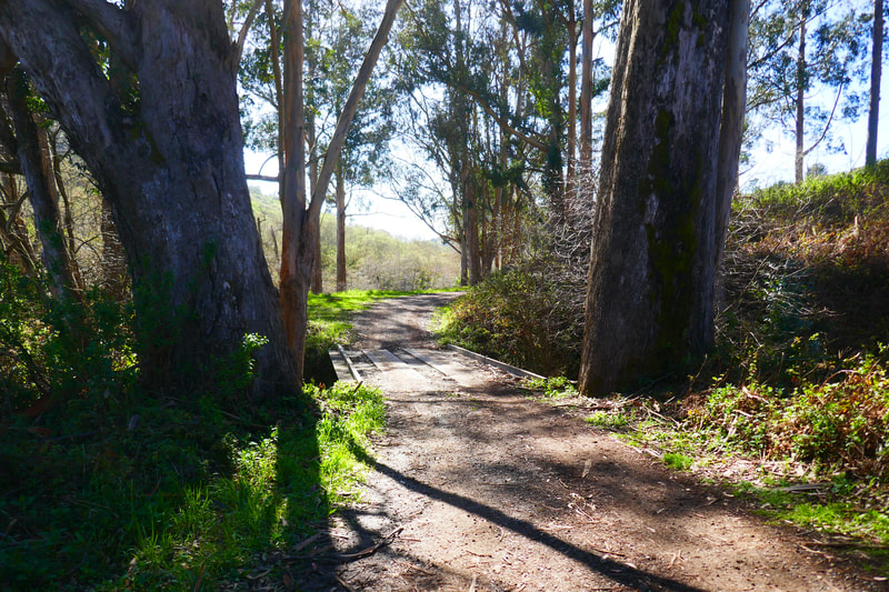
There’s an informative sign about the ranch at the trailhead, which adds to the visit. The trail from the trailhead to the old barn structure, about a mile long, is along a ranch road, closed to normal traffic, but you might see a truck from private property driving here. You may hit some muddy spots in rainy season.
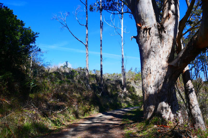
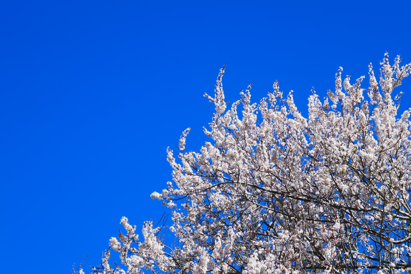
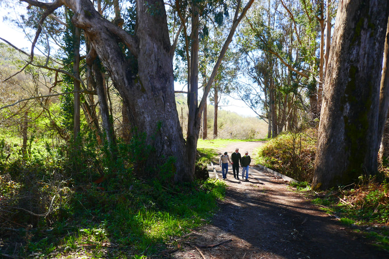
The first stretch opens out to rolling hills on either side, and if you catch the right moment, you might see dramatic white blossoms of what another walker told us were plum trees. There are sporadic patches of older eucalyptus trees which break up the hill views. Wooden bridges over creeks add to the ambience. On our visit, portable toilets were located close to the trailhead and again close to the old barn site. Please heed the warning sign to stay out of the live fire training area which branches off the main road as you approach the ranch site.
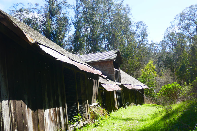
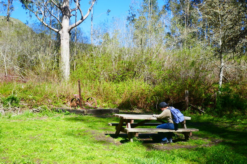
A dark wooden shed through the trees ahead, the looming shadow of the old barn off to the left, and rusty antique ranch equipment ornamenting the path and then the ranch site itself are all signals that you’ve reached the main ranch site. There are picnic tables for those who which to enjoy a pastoral snack break.
The old barn is very photogenic but also fragile, so looking but not prodding is the way to go. It is possible to walk completely around the barn, and the back view leads back down and around for a view with rustic stone fence and weather-worn wooden fences adding to the mood. Having grown up around old dairy farms back east, this part of the walk felt like an amble through the back pastures behind my house.
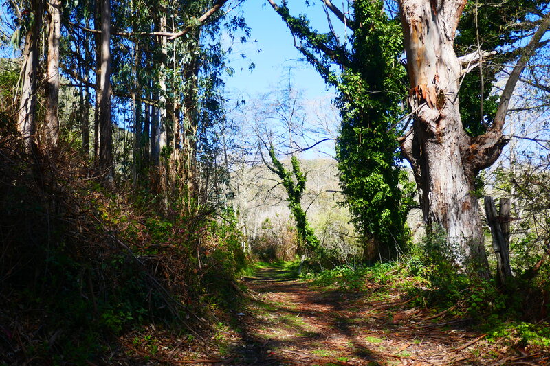
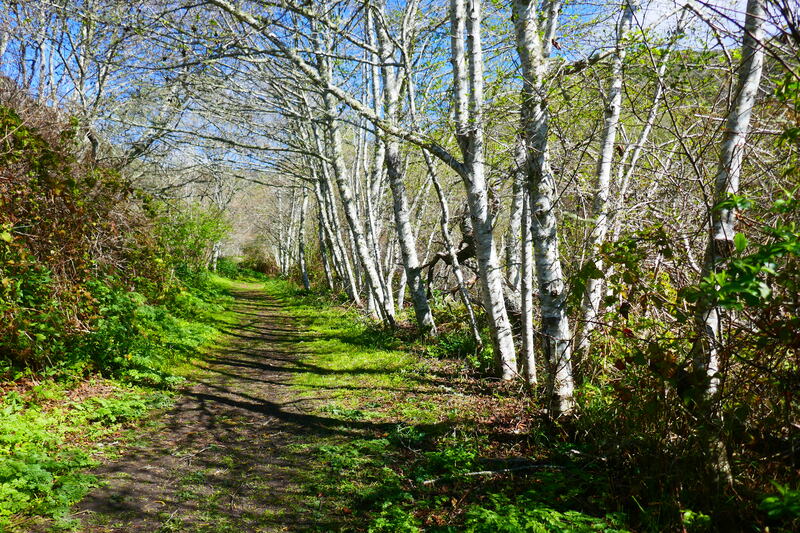
This would be a logical turnaround spot for some. To get to the next logical trail turnaround spot, walk one more mile from the barn area (past a spooky overgrown shed). This section of the walk goes through narrower grassy paths lined with white barked trees (still not exactly sure what these are). The scenery is somewhat repetitive but there are pretty views of the hills as the trail narrows.
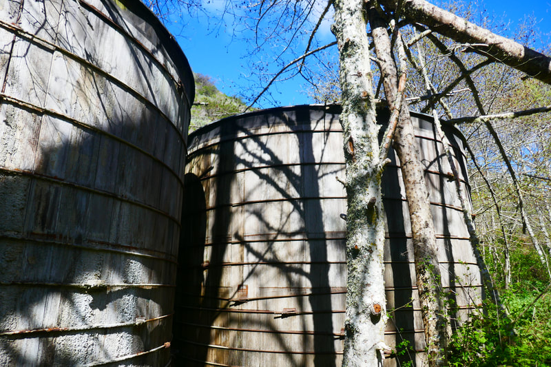
Eventually, wooden water towers come into sight. Other hikers told us that it is actually possible to press on beyond this point and walk all the way to Skyline Blvd., but the path gets very dense and narrow, and grows thick with poison oak and stinging nettle in some parts. We enjoyed our two miles out and two miles back with the barn and water towers as trail markers.
Though I love a good loop hike because you enjoy an entire walk of fresh scenery, out-and-back hikes are also great. The view going back is always different from the view going in, and with light changing over time, the way shadows fall also adds to the variation in scenery. The are no big hills or inclines on this four mile round trip, but there is a gradual ascent that is noticeable on the last section toward the water towers.
(Burleigh Murray Ranch Trail Hike Notes were originally paired with the “Folk Tale Meanderings” Insights post.)
Click Insights/Hike Update News for inspiring reflections. Browse hikes on the main Hikes page or on the Hike Search by Area page. Check out selected articles and interviews under Media. Click World Walks to see or share favorite family-friendly walks! Stay in touch with Lisa Louis and HikingAutism via Contact. See products with inspiring designs that support the efforts of HikingAutism under Support/Shop. The Links page lists a loose collection of helpful information links.
Check the Home page for the broader background story. If you’re not able to take one of these Northern California hikes, hopefully you can enjoy the photo galleries at the bottom of each hike page! Feel free to share and follow on Facebook at HikingAutism, follow on Twitter at @HikingAutism and Instagram at lisalouis777
