King Mountain Loop Trail
(scroll to bottom for photo gallery)
Location:
King Mountain Loop Trail trailhead at Citron Fire Road, Larkspur, CA 94939
Starting Point:
Citron Fire Road junction with King Mountain Loop Trail
Location: If you look up Citron Fire Road in Larkspur on a map browser, and see how it falls within the east side of King Mountain Preserve, you’ll see that there are possible Citron Fire Road approaches to the trailhead from three different directions: from Cedar Ave., from Vine St., and from a private area off Skylark Dr. Each has it’s pluses and minuses in terms of parking and distance on Citron Fire Road to reach the King Mountain Loop trailhead (or from Vine St., the Vine St. Trail and then Citron Fire Road). We’ve always taken the Skylark approach, which is the shortest connection via Citron Fire road, but also means you have to be careful about parking in private areas.
Info links:
For all web links, if a link doesn’t jump directly, copy and paste into browser.
King Mountain Preserve/King Mountain Loop Trail info link:
https://www.marincountyparks.org/parkspreserves/preserves/king-mountain
King Mountain Preserve map link:
https://www.parks.marincounty.org/-/media/files/sites/marin-county-parks/parks-and-preserves/maps/map_blithedalebaltimorekingcamino_121322.pdf
Maps and Info link list for Marin County parks and preserves:
https://www.marincountyparks.org/parkspreserves/location-list
King Mountain Preserve usage guidelines link:
https://www.marincountyparks.org/parkspreserves/preserves/king-mountain?tabnum=3
Distance:
The Skylark access Citron Fire Road distance is less than 1,000 feet to the trailhead. The King Mountain Loop Trail is noted as 1.8 miles (varies according to source, but this seemed like the most consistent number).
Considerations:
• There are no toilet facilities for this hiking area.
• Poison oak: Steer clear, and keep a poison oak scrub like Technu handy.
• Dogs allowed on leash.
• Check for ticks after outings.
• Bring water and sun protection. There are enough uphill stretches to work up a sweat, especially on hot days.
The trail:
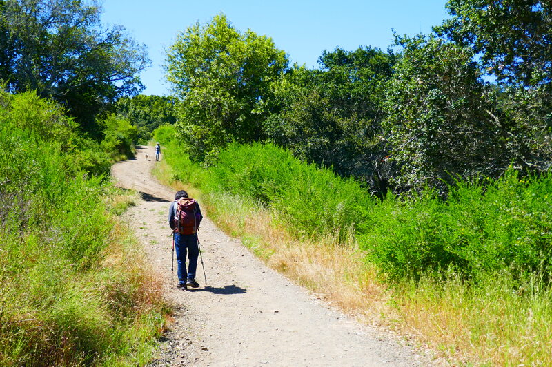
We’ve always taken the Skylark entry to Citron Fire Road, which is the shortest connection to the King Mountain Loop Trail. It’s a short climb up paved private road, heading left up the hill to continue upward the wider dirt type road that is Citron Fire Road toward the King Mountain Loop Trailhead.
Once you hit the trailhead, you have a choice of taking the loop starting from the right or the left. The loop is around 1.8 miles, whichever direction you go. We decided to start from the right and loop counterclockwise.
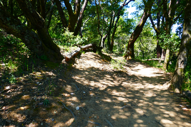
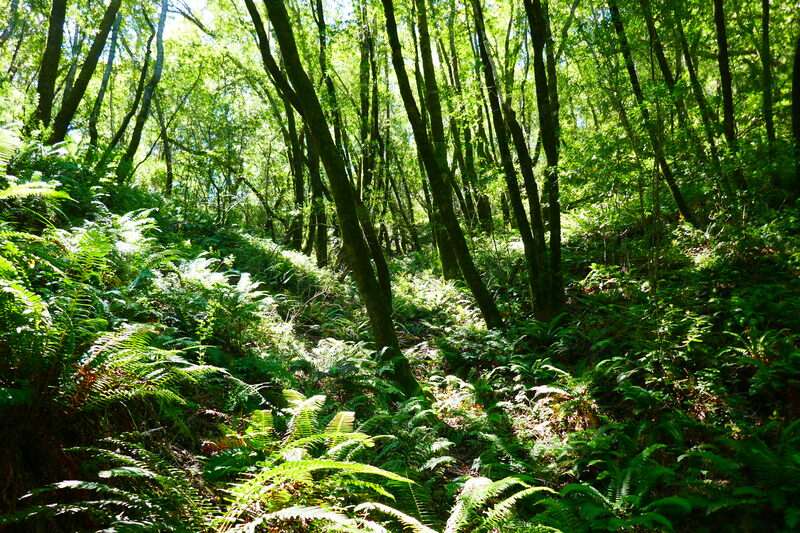
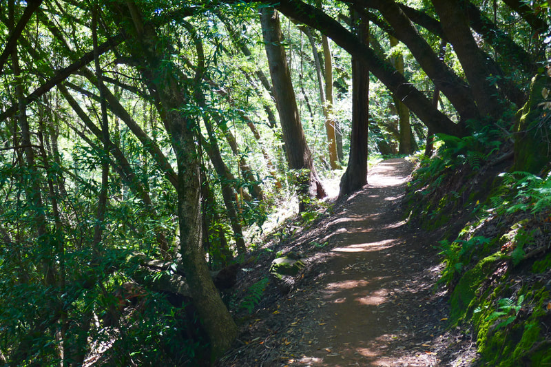
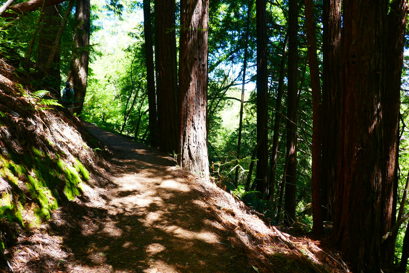
It can be hot here, but there is plenty of shade along the dirt path, with a pleasant mixture of oak, madrone, redwoods, and ferns along the walkway.
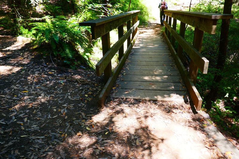
Along the way there’s a charming little bridge with a bench, good for a break or just for the aesthetics.
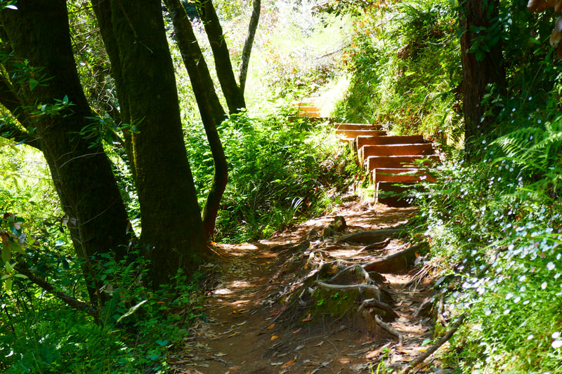
My favorite part of almost any hike seems to be rustic wood or stone stairways twisting up the hills. This trail has plenty of charming stairways to climb.
Mt. Tam comes into lovely full view at the top of the loop. It’s a stunner when framed by trees.
When you get to the area with some trail junctions, though no official bench is available, there are spots to perch for a snack or drink break.
Though I have yet to walk it myself, the trail marker at the junction with the Ladybug Trail on this King Mountain Loop always catches my attention. The trail name alone is enticing enough to be on my “to do” list of hikes.
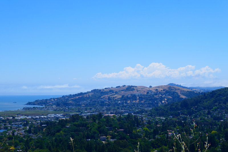
Though there is sun cover for much of the loop, there are open stretches, some of which offer glorious bay views. Even San Quentin Prison has its own visual charm from a distance, looming above the water in front of the Richmond Bridge.
It’s not a super long hike, but there is some climbing, and especially on a hot day, hikers should remember to have water bottles to stay hydrated.
(King Mountain Loop Trail Hike Notes were originally paired with the “Step by Step” Insights post.)
Click Insights/Hike Update News for inspiring reflections. Browse hikes on the main Hikes page or on the Hike Search by Area page. Check out selected articles and interviews under Media. Click World Walks to see or share favorite family-friendly walks! Stay in touch with Lisa Louis and HikingAutism via Contact. See products with inspiring designs that support the efforts of HikingAutism under Support/Shop. The Links page lists a loose collection of helpful information links.
Check the Home page for the broader background story. If you’re not able to take one of these Northern California hikes, hopefully you can enjoy the photo galleries at the bottom of each hike page! Feel free to share and follow on Facebook at HikingAutism, follow on Twitter at @HikingAutism and Instagram at lisalouis777
