Old Stage Road to West Point Inn
(scroll to bottom for photo gallery)
Location: Bootjack Campground parking area, Mount Tamalpais State Park, to West Point Inn, 100 Old Railroad Grade, Mill Valley, CA 94941
Starting Point: Bootjack parking area, 895 Panoramic Highway, Mill Valley, CA 94941
Info links:
For all web links, if a link doesn’t jump directly, copy and paste into browser.
For online map application searches, input “Bootjack Campground Parking”
Mount Tamalpais State Park info link (CA State Parks):
https://www.parks.ca.gov/?page_id=471
Muir Woods and Vicinity Trail Map (National Park Service):
https://www.nps.gov/goga/planyourvisit/upload/map-muwo-trail-2019-small.pdf
Mount Tamalpais brochure with map (California State Parks):
https://www.parks.ca.gov/pages/471/files/MountTamalpaisSPFinalWebLayout110816.pdf
Distance:
This post covers the ascending segment of a loop hike which starts with a short steep walk up from the Bootjack parking area through the campsites to the trail junction of Bootjack Trail and the Matt Davis Trail. We took the 0.2 mile section of Bootjack Trail to connect with Old Stage Road, and then hiked 1.4 miles to West Point Inn. The gallery and description in this post covers that part of the hike. Our return (covered in a future post) was 0.5 miles from West Point Inn on the Nora Trail until we reached the Matt Davis Trail and headed southwest for 1.3 miles to return to the original trail junction at the top of the campsites above the Bootjack Campground parking area. The total hike was around 3.6 miles but hills might make that feel a bit longer.
Considerations:
• The Bootjack parking area is fairly large, but as is the case at many trailheads, it gets more crowded on weekends.
• There are toilets at the Bootjack trailhead parking area, and also at West Point Inn.
• Follow health, safety, and wildlife information signs.
• Having a poison oak scrub like Technu is handy for any trail.
• As with any Bay Area outing, bring layers. You may be hot in the sun one moment and shivering under fog and a chilly breeze the next.
• Maps are important, whether paper or a downloaded image. Cell service is not always reliable, so downloading an image ahead of time helps. Not all trails are marked clearly or accurately on all maps, and trail signs aren’t always as clear cut as expected, so keeping a sense of bearings is important.
The trail:
Readers can read about the middle leg of this hike in the Nora Trail-West Point Inn Connector Hike Notes. The last leg is described in the Matt Davis Trail-West Point Inn to Bootjack Hike Notes.
The stairs to the Bootjack camp sites rise up to the right from behind the bathroom buildings. Stone stairways start hikers out, winding through various campsites. There’s a somewhat faded path stretch that connects to some wooden steps.
After the stairs, there is a service road with signs. Turn right and walk a few yards to see the Bootjack Trail sign at the junction with the Matt Davis Trail. If you go downhill on the Bootjack Trail you’ll end up in Muir Woods. Instead, take Bootjack Trail uphill (signs say to Old Stage Road and Mountain Theater) for 0.2 miles to Old Stage Road, our main path to West Point Inn.
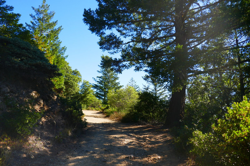
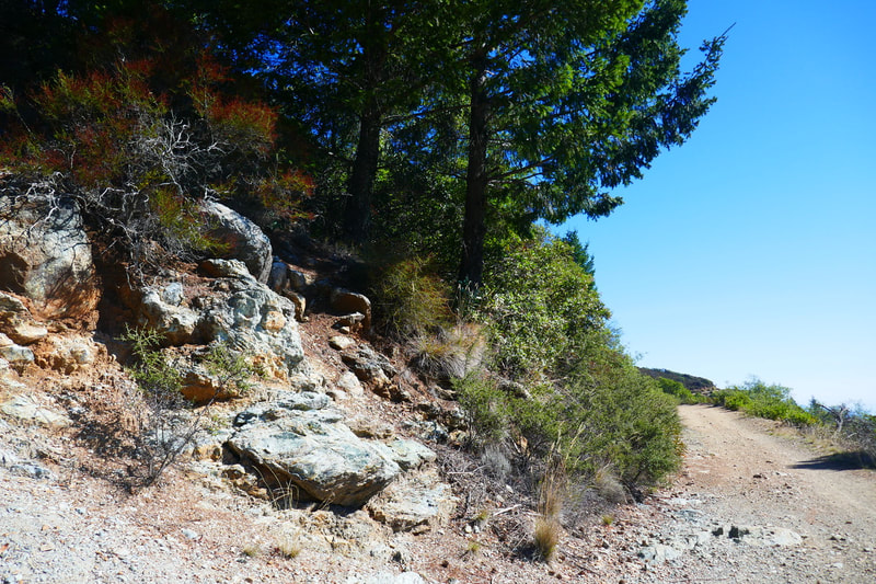
Old Stage Road is a fairly wide fire road with moderate inclines, so is less strenuous than some of the other trails to West Point Inn. I caught myself breathing hard chugging up the short initial steep stair trail from the Bootjack parking area to the trail junction, but after that, there were no really steep stretches on Old Stage Road to get to the Inn, which made for a pleasant ascending leg of our hike.
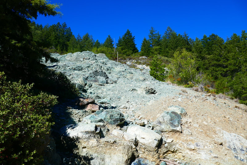
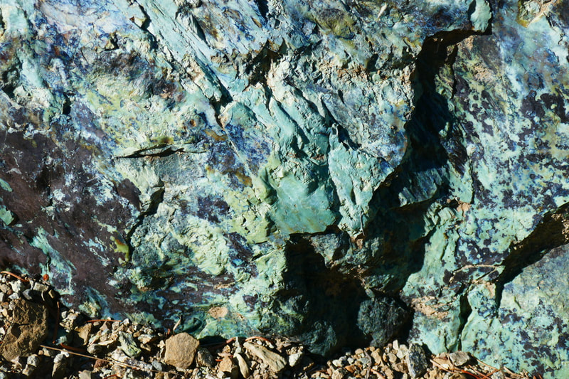
On the hill side of Old Stage Road, there are several rocky areas featuring a river-like flow of green serpentinite. Serpentinite is one of the hallmark stones in our local geology, and seeing these big patches is a treasure. (Once at the West Point Inn destination point, hikers can read about local geology in a display showing rock samples including serpentinite.)
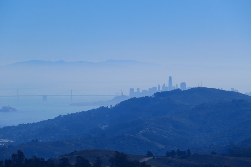
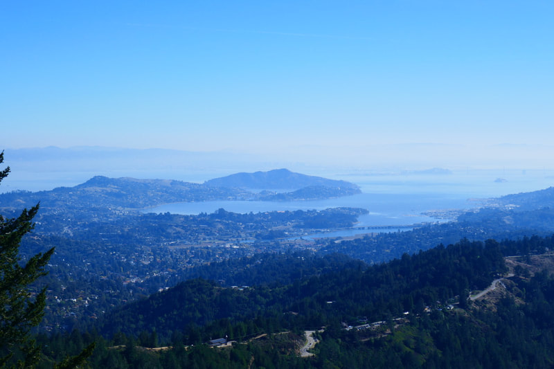
As the trail rises up, the views start to become really breathtaking looking out toward the ocean. Each curve of the trail brings the ocean in and out of view, with more expansive views as the trail rises.
When conditions are just right, the San Francisco skyline floats through the blue haze like Emerald City in the distance. A mixture of blue, green and gray shades of lower mountain ridges roll out like waves.
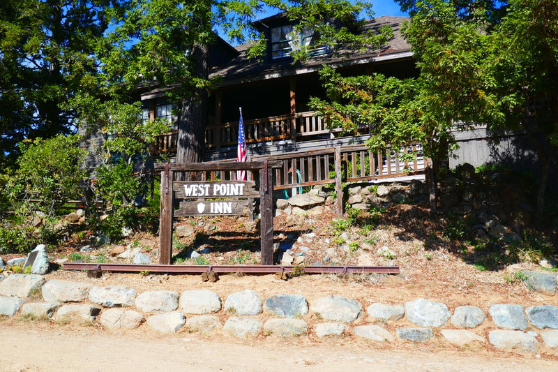
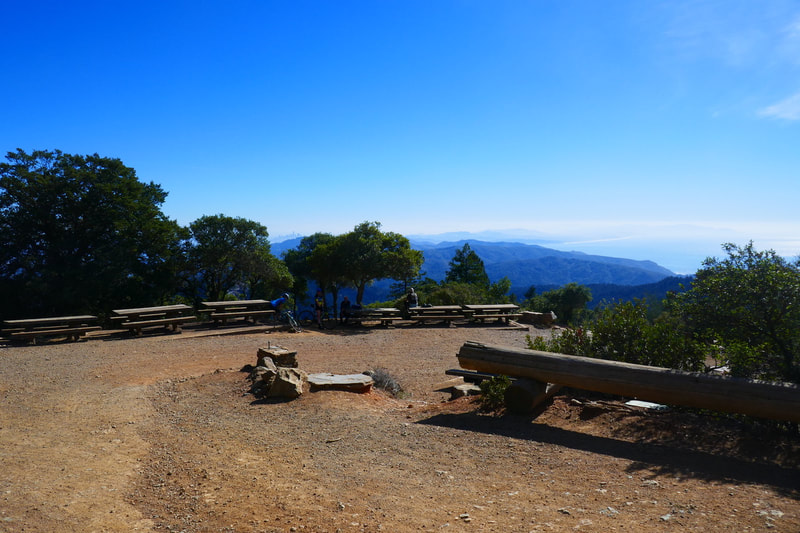
At some point the peak where West Point Inn comes into view, nestled behind some trees. There’s a bare patch of ground and a rooftop hidden behind the trees. After a few more turns of the trail, hikers will arrive at the open area with picnic tables below the West Point Inn. This charming old structure used to be a key part of the railroad system that existed on the mountain long ago. West Point Inn still offers overnight accommodations (hike in, no car access) and even does pancake breakfasts on a limited schedule.
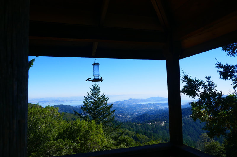
Hikers can enjoy a break on the shady veranda, where noisy hummingbirds were swarming around feeders on our visit. There’s a bathroom off the veranda. Hikers can check out part of the inn interior, including a charming fireplace room, and there were inexpensive snacks and drinks available on our visit.
The views are wonderful, and the inn structure and its surrounding picnic tables gave me a classic Adirondack vibe, bringing back childhood memories. This post stops here at the West Point Inn destination, and will be followed by a post back down the mountain via a different trail. The approximately 1.7 miles of mostly moderate incline climbing it took to get to the inn was well worth the effort.
(Old Stage Road to West Point Inn Hike Notes were originally paired with the “Alternate Routes” Insights post.)
Check the Home page for the broader background story. Click Insights/Hike Update News for inspiring reflections. Browse hikes on the main Hikes page or on the Hike Search by Area page, and scroll to the bottom of each hike page to see full photo galleries.
If you’d like to support HikingAutism, check out the Support/Shop page! Check out selected articles and interviews under Media. Click World Walks to see or share favorite family-friendly walks! Stay in touch with Lisa Louis and HikingAutism via Contact. The Links page lists a loose collection of helpful information links. Feel free to share and follow on Facebook at HikingAutism, follow on Twitter at @HikingAutism and Instagram at lisalouis777
