Coyote Point Recreation Area
(scroll to bottom for photo gallery)
Coyote Point Recreation Area, 1701 Coyote Point Drive, San Mateo, CA 94401
Location: The entry gate for Coyote Point Recreation Area is just east of Route 101 on Coyote Point Drive (Peninsula Ave. becomes Coyote Point just east of Route 101). There are parking areas and bathrooms at various locations in the park.
For all web links, if a link doesn’t jump directly, copy and paste into browser. (Information links may change. We do our best to update.)
Coyote Point Recreation Area info link (County of San Mateo):
https://www.smcgov.org/parks/coyote-point-recreation-area
Coyote Point Recreation Area trail map link (County of San Mateo):
https://www.smcgov.org/parks/coyote-point-recreation-area-trails
Coyote Point Recreation Area activities link (County of San Mateo):
https://www.smcgov.org/parks/coyote-point-recreation-area-activities
CuriOdyssey Science Playground and Zoo:
https://curiodyssey.org
Distance:
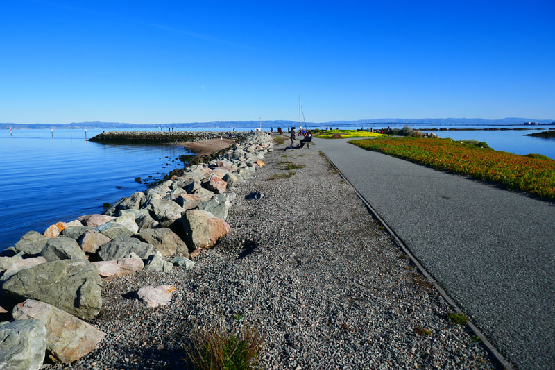
Coyote Point Recreation Area covers 670 acres, and has numerous trails, mostly paved. The San Francisco Bay Trail runs along the inland edge of the Coyote Point Recreation Area, which is the longest single trail segment, but there are numerous shorter trails that lead through various scenic sections of the park. (See trail map link above.) Visitors can park at Coyote Point Beach and just check out the scenery or take the short walk along the Marina Trail along the breakwater as short walk examples, or can combine the various trails into a longer walk.
Considerations:
General note: All information is subject to change based on current health and safety guidelines.
• There is an entry gate/pay station at the park entrance on Coyote Point Drive. The fee on our visit was $6. The ranger at the entry gate offered brochure/map and helpful directions.
• There are toilet facilities at several locations around the park.
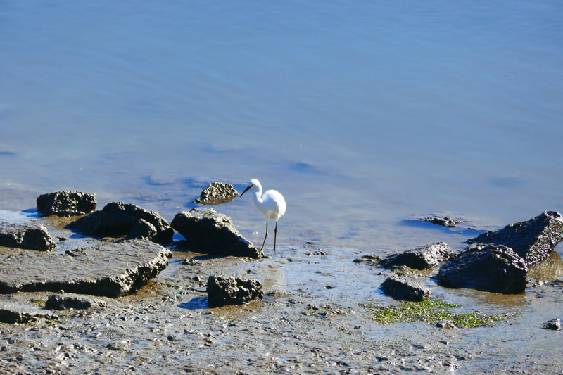
• Heed health and safety notices, including wildlife alerts, water quality warnings, and fishing rules.
• Most of the trails at this park are paved, but poison oak warnings are posted. A scrub such as Technu is good to have in case of accidental contact.
• Bay Area weather can switch between chilly and foggy and warm and sunny in the blink of an eye. We always bring layers.
• Dogs are allowed in designated areas.
The trail:
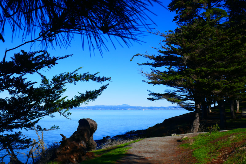
We chose to start our visit from the Coyote Point Beach parking and bathroom area. This is a great starting point for seeing the view across San Francisco Bay, with the San Francisco skyline to the north, the San Mateo Bridge to the east, and more of the bay to the south, with planes destined for San Francisco Airport flying overhead.
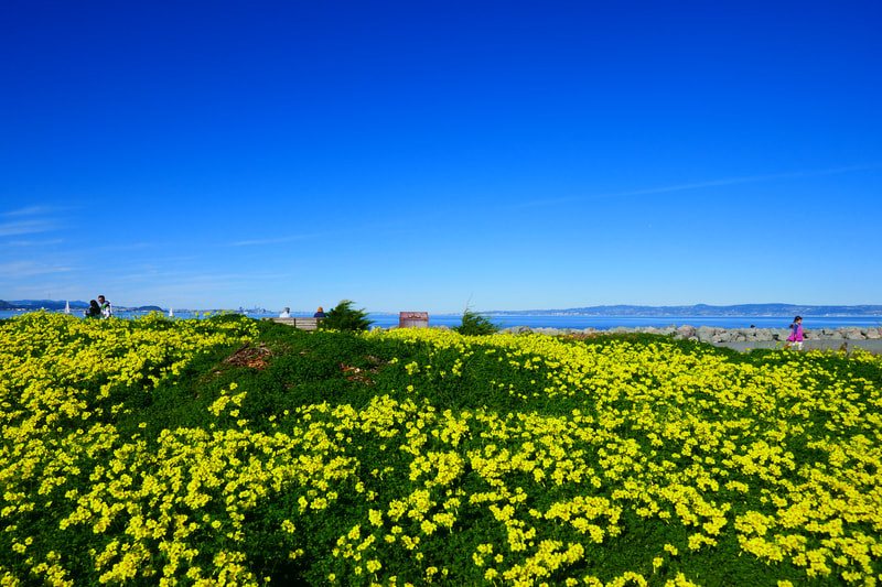
We enjoyed the view from the Promenade Trail that goes along the beach, then walked up the hill along the Bluff Trail, which offers postcard-perfect views with cypress trees, wooden fences, and rock structures in the foreground and the San Francisco Bay and sky in the background.
We stopped at the Merchant Marine Memorial overlook, and saw kids playing up the hill at the Knoll Youth Area. The views changed along the curve that took us past CuriOdyssey zoo and science facility, which we did not visit this outing, and then we took a short downhill connector to the Marina Trail.
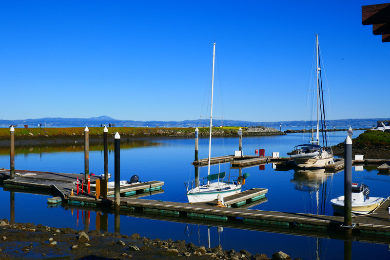
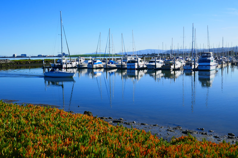
The Marina Trail took us past boats moored in the marina to the breakwater, which was covered with bright yellow flowers on our visit. It’s a short, flat walk out to the end of the breakwater, and we watched people fishing as well as boats coming in and out of the marina.
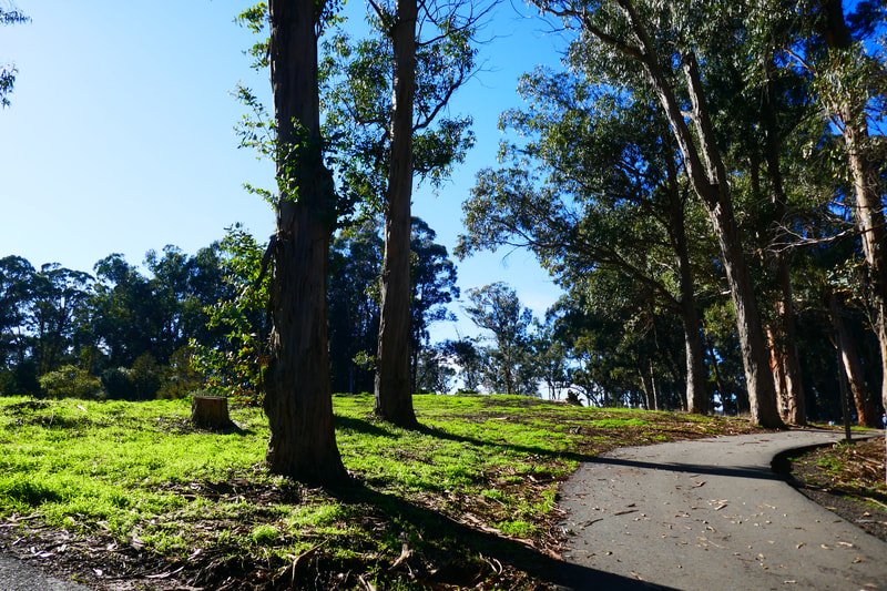
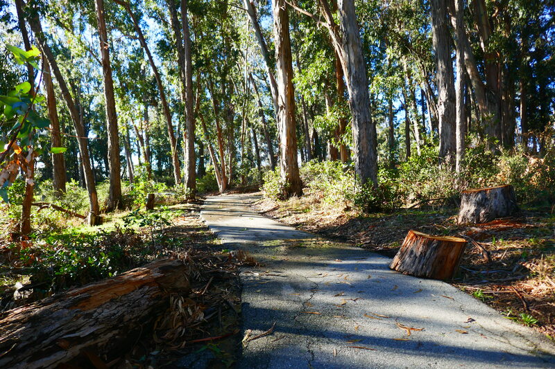
We took the Eucalyptus Trail partway back, which gave us a lovely view of the golf course on the left, with eucalyptus groves and picnic areas on the right. We turned up the short trail by the Captain’s House, and then made our way back to the beach area parking lot. Our ambling loop may have added up to 2 miles. A relatively short walk with very view hills to navigate offered plenty of scenic views, and next visit we’ll probably add longer sections of trail to our visit.
Coyote Point Recreation Area Hike Notes were originally paired with the “Like a Postcard” Insights post.)
Click Insights/Hike Update News for inspiring reflections. Browse hikes on the main Hikes page or on the Hike Search by Area page. Check out selected articles and interviews under Media. Click World Walks to see or share favorite family-friendly walks! Stay in touch with Lisa Louis and HikingAutism via Contact. See products with inspiring designs that support the efforts of HikingAutism under Support/Shop. The Links page lists a loose collection of helpful information links.
Check the Home page for the broader background story. If you’re not able to take one of these Northern California hikes, hopefully you can enjoy the photo galleries at the bottom of each hike page! Feel free to share and follow on Facebook at HikingAutism, follow on Twitter at @HikingAutism and Instagram at lisalouis777
