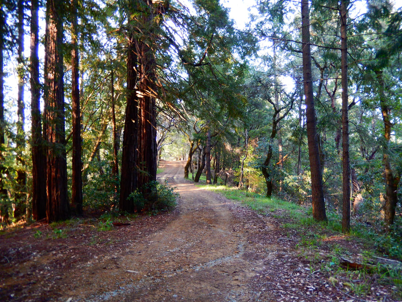
Hidden Lake from Lake Lagunitas
(scroll to bottom for photo gallery)
Location: Hidden Lake is in the Mt. Tam Watershed in Marin, about halfway between the southern ends of Alpine Lake and Lake Lagunitas.
Starting Point: Lake Lagunitas parking lot, Sky Oaks Road, Fairfax, CA. From Bolinas-Fairfax Road, turn onto Sky Oaks Road and stop at the pay station which has automated machines for parking passes, which are required. Drive past the turnoff for the road to Bon Tempe Dam, staying on Sky Oaks Road to the Lake Lagunitas parking lot.
Info links:
For all web links, if a link doesn’t jump directly, copy and paste into browser.
Mt. Tam Watershed information (Marin Water):
https://www.marinwater.org/mt-tam-watershed
Mt. Tam project and road status info (CA State Parks):
https://www.parks.ca.gov/?page_id=471
Mt. Tam Watershed map (Marin Water):
https://www.marinwater.org/sites/default/files/2020-09/Watershed%20Visitor%20Map.pdf
Distance:
From the Lake Lagunitas parking lot along Lagunitas Dam Trail to the Rock Spring Road trailhead is about 0.2 miles. It’s 0.9 miles on Rock Spring Road to the junction with Rocky Ridge Road, and 0.4 miles north on Rocky Ridge Road to the junction with Stocking Trail. It’s another 0.6 miles walking southwest on Stocking Trail to Hidden Lake (junction with Kent Trail). That’s 2.1 miles each way for a 4.2 mile round trip out-and-back hike.
Considerations:
• Be sure to stop at the pay station on Sky Oaks Road to pay the modest parking fee. It’s not worth getting a ticket.
• There is quite a bit of parking space at Lake Lagunitas, though as is the case everywhere, weekends and holidays are when spaces may be harder to find.
• Facilities include portable toilets and various picnic table areas.
• The trail gets a little fuzzy closer to Hidden Lake. Trail maps, whether paper or a screen shot from online (cell service not guaranteed in many locations), are always good to have.
The trail:
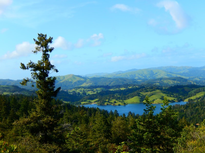
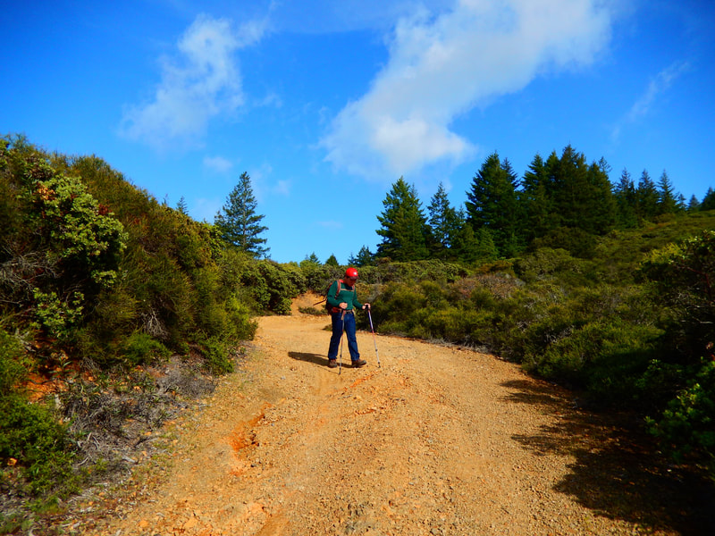
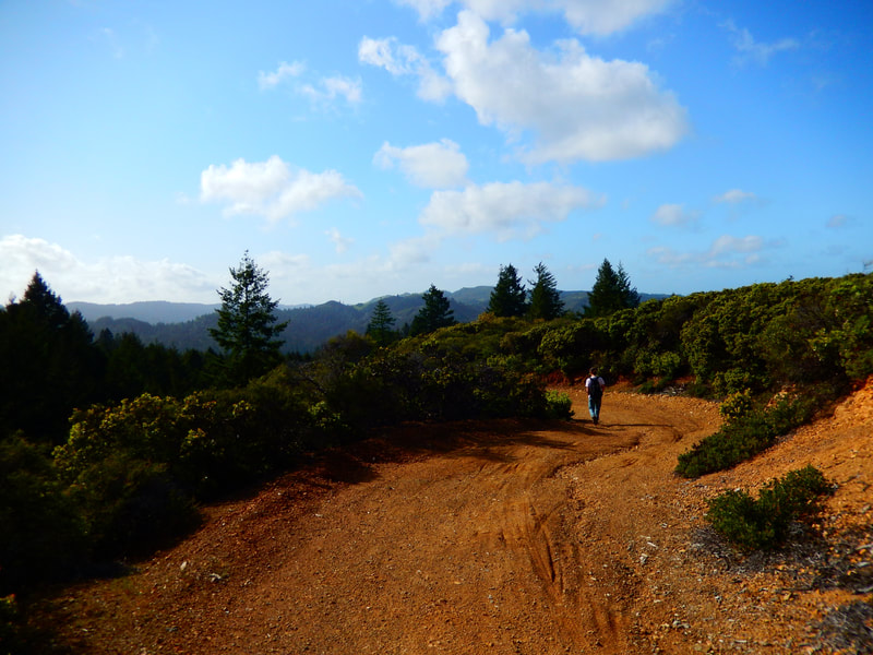
Starting from the parking area, Lagunitas Dam Trail is a woodsy trail that leads to the edge of Lake Lagunitas. The short segment of Lagunitas Dam Trail from the edge of the lake is a tree-covered dirt trail highlighted by wooden fences and wildflowers that involves a moderate climb to reach Rock Spring Road, a wider fire road. Rock Spring Road gradually rises up through the trees to open spaces. Here you’ll find grand views of Mt. Tam Watershed mountains and Bon Tempe Lake.
Watch for the trail sign for Rocky Ridge Road, another wide fire road. The lower coastal scrub brush and pine trees along this stretch make for more open views. The red chert road base starts to turn to the grayish greens of possibly serpentine and basalt which are common geological elements on Mt. Tam.
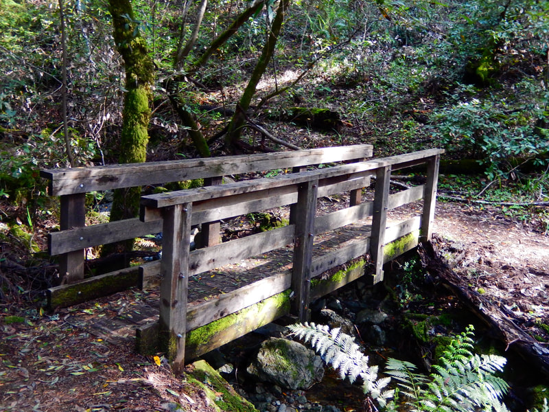
As Rocky Ridge Road descends, watch for the trail marker for Stocking Trail amidst the lower brush and rocky spots. Stocking Trail is a narrower hiking trail that drops down through an interesting mix of chert and serpentine rocky areas into tree covered areas and wooden footbridges.
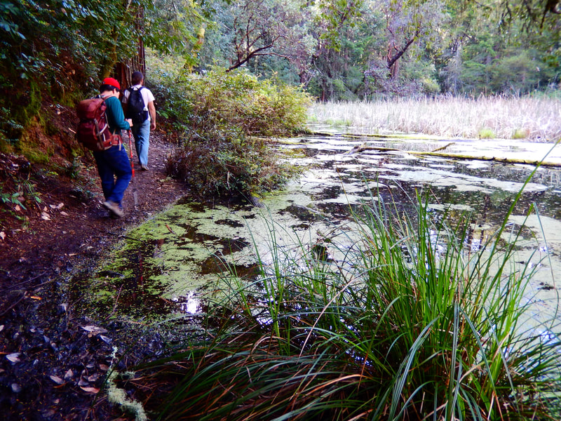
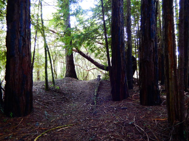
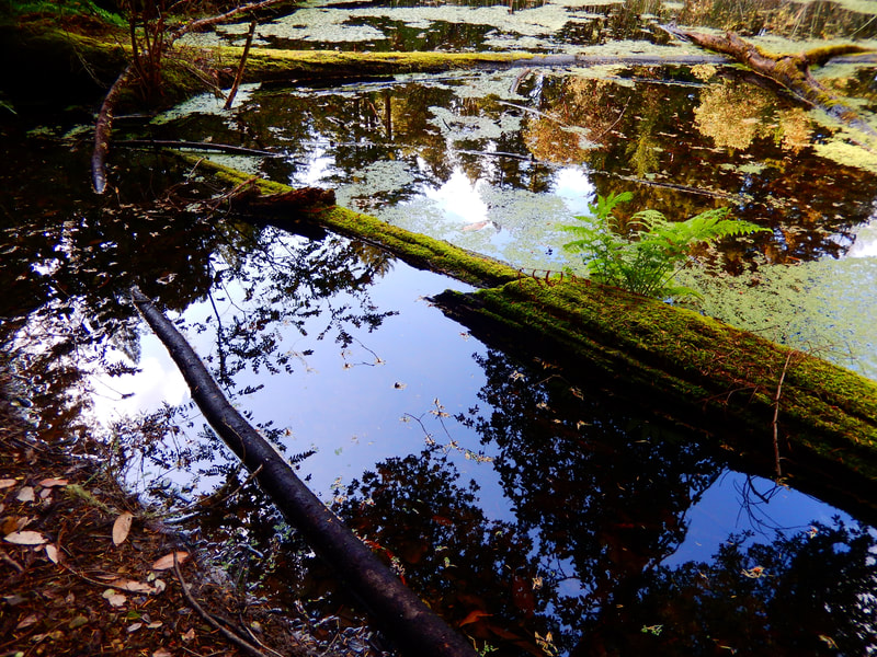
A small wooden footbridge appears after passing under various deciduous trees, and then the trail rises for a stretch and redwoods line a stretch of trail. The trail gets a little fuzzy over one creek bed crossing, but trail instinct will lead walkers through the redwoods to the moss covered logs and trees along Hidden Lake. Hidden Lake is in fact more of a swampy pond. Depending on the balance of drought and rain, it may look like dried up swamp grass, or a pond with trees reflecting on the water between patches of algae.
“Hidden” is the operative word in the sense that Hidden Lake is away from main trails and fire roads, and is very quiet. We saw no other hikers, but did see a salamander for our fauna highlight, and numerous wild irises for our flora treat, one of the visual delights of Mt. Tam.
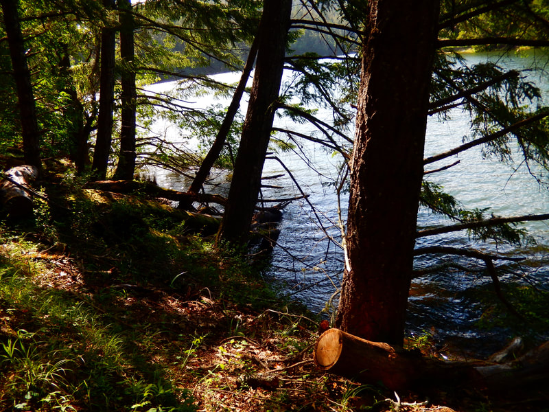
The nice thing about out-and-back hikes is that the scenery truly is fresh and new going back in the other direction. The high ridge views are always uplifting, and the walk back along the edge of Lake Lagunitas toward the parking area offers the changing light reflecting off the water.
(Hidden Lake from Lake Lagunitas Hike Notes were originally paired with the “Waiting for That Special Moment” Insights post.)
Click Insights/Hike Update News for inspiring reflections. Browse hikes on the main Hikes page or on the Hike Search by Area page. Check out selected articles and interviews under Media. Click World Walks to see or share favorite family-friendly walks! Stay in touch with Lisa Louis and HikingAutism via Contact. See products with inspiring designs that support the efforts of HikingAutism under Support/Shop. The Links page lists a loose collection of helpful information links.
Check the Home page for the broader background story. If you’re not able to take one of these Northern California hikes, hopefully you can enjoy the photo galleries at the bottom of each hike page! Feel free to share and follow on Facebook at HikingAutism, follow on Twitter at @HikingAutism and Instagram at lisalouis777
